White-lipped peccary in the Amazon (copyright and photo Jose MV Fragoso)
News article from Virginia Tech University on our research: “Evidence of wildlife passage, such as tracks, scat, fur, and disturbed surroundings, is a more accurate tool for assessing wildlife conservation status than actual encounters with animals, according to an international team of scientists from six universities, publishing in the April 13, 2016, issue of PLOS ONE.” Continue reading “Community livelihoods depend upon accurate wildlife estimates”
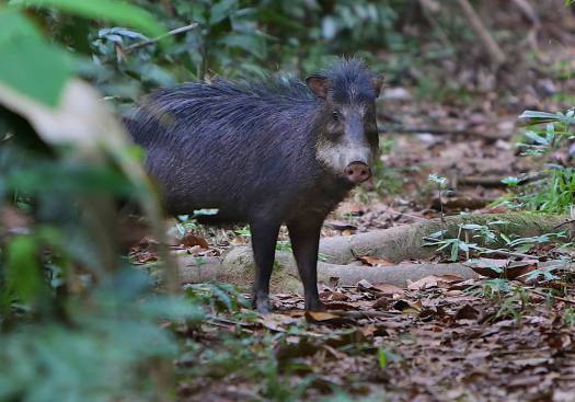
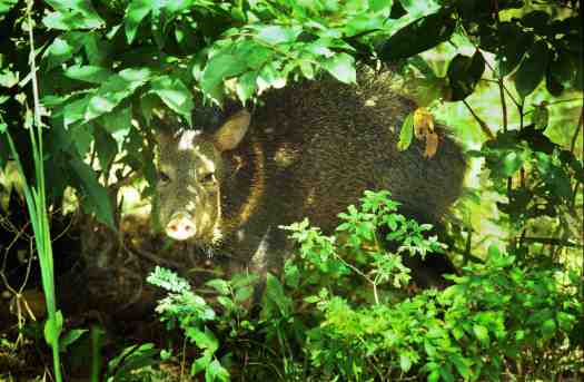
Collared peccary (copyright photo Jose MV Fragoso)
Our new paper in the journal PLOS ONE reports that we are grossly under-detecting hunted animal species. The results challenge the many studies showing serious negative impacts of subsistence hunting on wildlife species. Seems like the animals may be hiding from us. This research indicates that we need to reassess how we measure hunting impacts in the tropics.
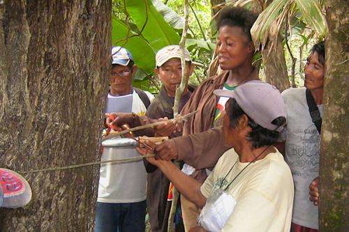
Muheres Uaiuais preparam farinha de mandioca tradicional (Foto: José Fragoso)
“Populações habitam a região amazônica há milhares de anos, mas o avanço de elementos da vida moderna está pondo em risco a sustentabilidade desses povos e do ecossistema onde vivem. Essa é a conclusão de um estudo elaborado pela equipe do biólogo português José Fragoso, da Universidade Stanford, nos EUA.” “ — Os resultados da pesquisa mostram que apenas não invadir áreas indígenas não é suficiente — diz Fragoso. — O que acontece no entorno das reservas tem grande impacto no interior.”
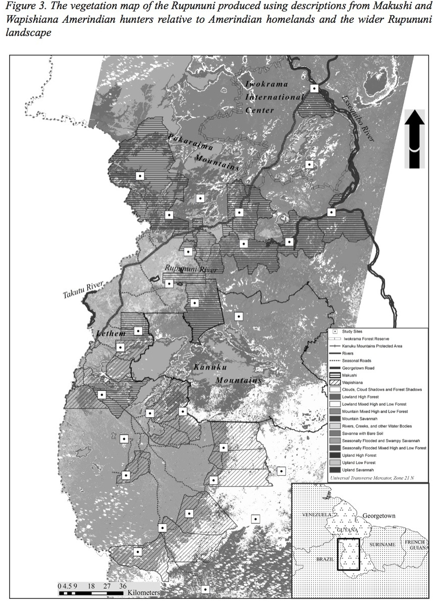
AnthonyRavindra Cummings led the Project Fauna team in the production of a vegetation map for the Rupununi region of Guyana, with the participation of Makushi, Wapichana and other Amerindians. Cummings and co-authors Jane Read (Syracuse University, USA) and Jose Fragoso state that with hunter’s vegetation descriptions and remotely sensed imagery we produced an eleven-class vegetation map that covered the main vegetation types described by hunters. “The final map shows that indigenous hunters can be important partners in the map-making process…”.
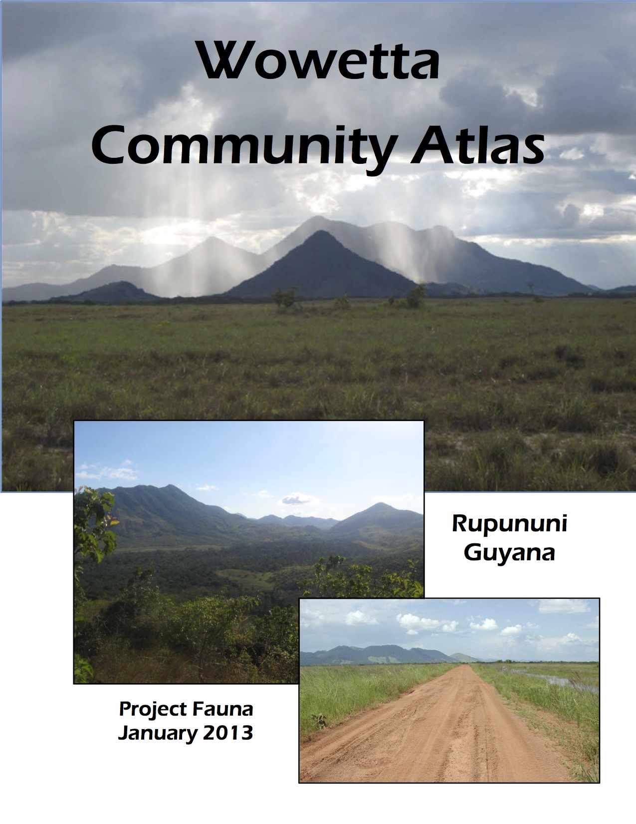
Jane Read from Syracuse University and the Fragoso lab (Project Fauna) produced atlases for 23 villages of the Rupununi, Guyana. Each atlas provides a socio-economic and environmental profile of the village.
Atlases for Fairview, Wowetta, Paipong / Tiger Pond, Katoka, Kwaimatta, Tipuru, Aishalton, Achawib, Para Bara, Karaudarnau and Awarewanau can be downloaded from the North Rupununi District Development Board at: http://www.nrddb.org/projectfaunaaltlases
The US National Public Radio’s The World program reported on our return of the atlases to communities. The reporter, Elsa Yougstead actually traveled for two weeks with us through the villages. You can hear the report here:http://www.pri.org/stories/2011-08-25/slideshow-customized-atlases-amazon
Dr. Kye Epps instructs Makushi field researchers on measuring trees for carbon estimation (photo by Han Overman)
Mongabay’s Sanhya Sekar wrote two articles concerning the Fragoso Group’s work with indigenous people’s field measurements of tropical forest carbon stocks. Sekar writes “With financial incentives encouraging maintenance of carbon stocks and the increased popularity of carbon trading between countries, a forest has become economically a lot more than a clump of trees that supplements livelihoods. A forest now has an intrinsic value by just existing, a value that can be measured in economic terms.”
Dr. José Fragoso presented results from his research integrating indigenous communities into biodiversity monitoring at the Chico Mendes Institute of Conservation and Biodiversity (ICMBio) in Brasilia, Brazil on February 10, 2012. Click here for an overview in portuguese.